Hiking Maps
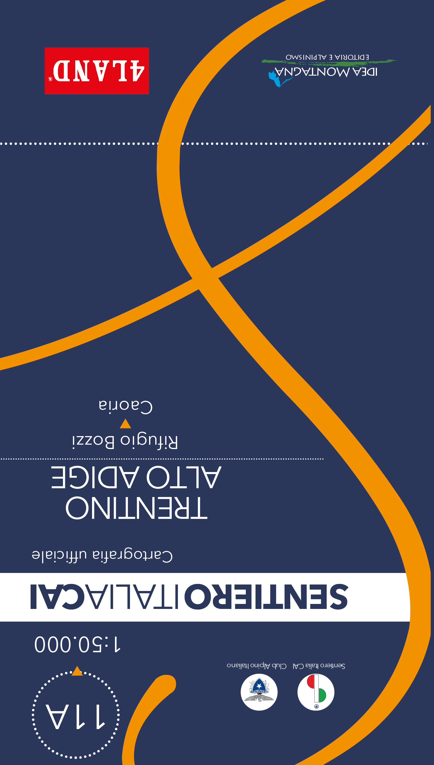
11A - Sentiero Italia Trentino Alto-Adige
The Dolomites and the Ortles-Cevedale group need no introduction: they are true points of reference for all mountain enthusiasts.
The Sentiero Italia in Trentino-Alto Adige, in addition to the mo... [mehr]
11B - Sentiero Italia Trentino Alto-Adige
The Dolomites and the Ortles-Cevedale group need no introduction: they are true points of reference for all mountain enthusiasts.
The Sentiero Italia in Trentino-Alto Adige, in addition to the mo... [mehr]
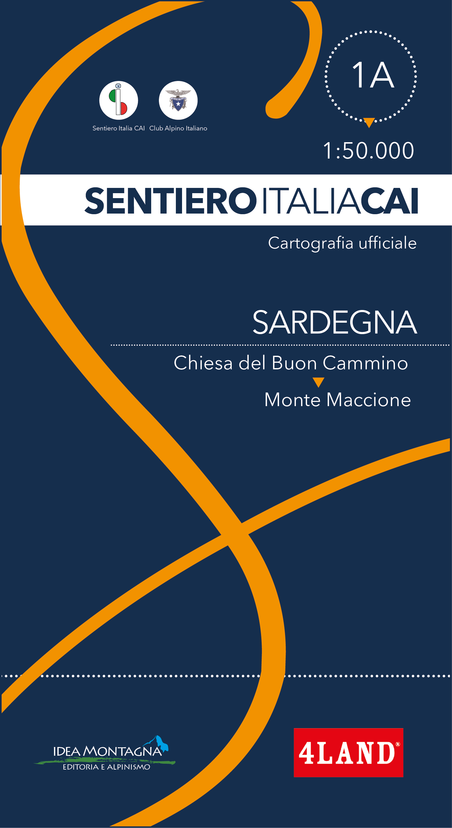
1A - Sentiero Italia Sardegna
From the colors of Gallura to the Gennargentu plateaus, the path of the Sentiero Italia in Sardinia is an extraordinary tool for rediscovering, especially between October and April, the deepest essence of the island, through an unpr... [mehr]
1B - Sentiero Italia Sardegna
From the colors of Gallura to the Gennargentu plateaus, the path of the Sentiero Italia in Sardinia is an extraordinary tool for rediscovering, especially between October and April, the deepest essence of the island, through an unpr... [mehr]
2A - Sentiero Italia Sicilia
Sicily is a treasure trove of history and nature that has few equals in the whole Mediterranean. The cliff of Erice, Etna, the theater of Segesta, the Madonie.
It is enough to mention a few place... [mehr]
2B - Sentiero Italia Sicilia
Sicily is a treasure trove of history and nature that has few equals in the whole Mediterranean. The cliff of Erice, Etna, the theater of Segesta, the Madonie.
It is enough to mention a few place... [mehr]
7A - Piemonte
I grandi spazi, i silenzi, le montagne generose e severe del Piemonte occidentale sono i protagonisti del settimo volume della collana, che compie un viaggio dalle Alpi Liguri al Parco Nazionale del Gran Paradiso, riservando non poche [mehr]
Adamello - Presanella - Edizione 2019
Deutsch: 4LAND Karte N. 138. Detailierteste karte des Adamello-Gletschers und von Presanella. Die kartographierte Region erstreckt sich von Val Rendena (Pinzolo) im Osten bis Monte Adamello im Westen. Val Vermiglio ... [mehr]
Alpi Apuane - Edizione 2022
The map shows all the paths managed by the CAI and other associations such as Uoei and Amici della Montagna, in addition to the paths and crossings, such as Garfagnana Trekking, Apuane Trekking, Alta Versilia Path (Sav), Crossing of t... [mehr]
Nardini, R., Casolari, E.
Alto Garda Valle di Ledro
Deutsch: 4LAND Karte N. 114. Detailierteste und aktualisierte Karte der nördlichen Gardaseeregion, mehr als 1500 km Mountainbikestrecken sind besonders hervorgehoben und nach Schwierigkeitsgrad sortiert. A... [mehr]
Nardini, R., Casolari, E.
Alto Garda Valle di Ledro - Edition 2019
Deutsch: 4LAND Karte N. 114. Detailierteste und aktualisierte Karte der nördlichen Gardaseeregion, mehr als 1500 km Mountainbikestrecken sind besonders hervorgehoben und nach Schwierigkeitsgrad sortiert. A... [mehr]
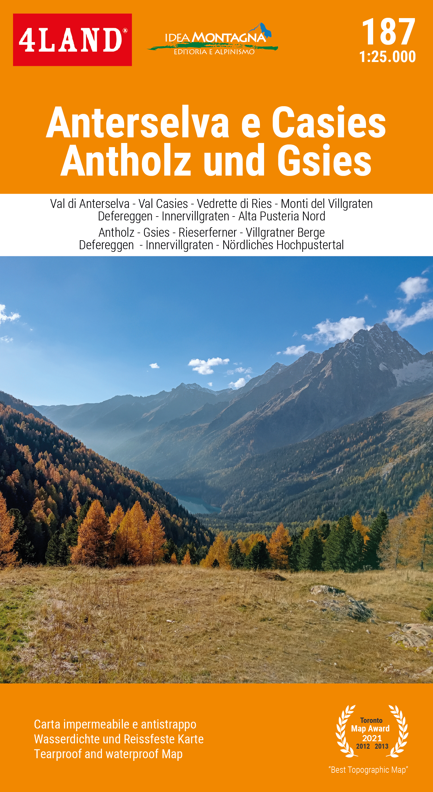
Anterselva e Casies
The Val Pusteria, a long South Tyrolean valley with a west-east orientation, reserves the most interesting attractions precisely in its eastern section.
It acts as a watershed between the Dolomit... [mehr]
Nardini, Remo
Appennino Tosco-Emiliano - Dal Lago Santo Modenese al Corno alle Scale
Le creste del Monte Giovo e le acque impetuose della Cascata del Doccione, la parete est del Corno alle Scale e i boschi dell'Abetone sono solo alcuni dei luoghi che fanno di questa parte di Appennino un susseguirsi di ambienti e [mehr]
Appennino Tosco-Emiliano - Dal Passo del Cerreto al Lago Santo Modenese
From the silent woods of the Garfagnana to the panoramic ridge of Monte Cusna, from the ancient village of San Pellegrino in Alpe to the blooms of Monte Prado, this area shows all the richness of landscapes deriving from the millenn... [mehr]
Appennino Tosco-Emiliano - Dal Passo della Cisa al Passo del Cerreto
Da una parte la Pianura e il Continente; dall'altra la Penisola e il Mediterraneo. Il crinale Tosco-Emiliano si distende in questo tratto come un'ininterrotta e panoramica dorsale sospesa tra due mondi.
Cime iconich... [mehr]
Asinara – Parco Nazionale Area Marina Protetta
Deutsch: 4LAND Karte N. 160. Offizielle Karte des Asinara-Nationalparks bei Sardinien. Gemacht für Wanderer sowie Mountainbiker. Mit zehn Vorschlägen für Wandertouren; diese werden auf der Rückseit... [mehr]
Nardini, Remo
Basso Garda Lago di Garda Sud
Deutsch: 4Land Karte N. 116. Neue Karte der Wanderwege und Mountainbike-Strecken des unteren Gardasees. Das sogenannte "Garda-Moränen-Amphitheater" ist vollständig auf der Karte abgebildet, die s... [mehr]
Nardini, R., Casolari, E.
Bozen/Bolzano - Ritten/Renon
Deutsch: 4LAND Karte N. 180. Detailierteste, aktualisierte karte von Bozen und Umgebung, inklusive dem Ritten-Plateau. Hervorgehoben sind die Südtiroler Weinstraße, ca. 30 weitere Panoramarouten... [mehr]
Camaiore e Massarosa
La nuova carta topografica del comune di Camaiore in Toscanae parte del comune di Massarosa contiene tutti i sentieri ufficiali dei rispettivi comuni oltre a quelli ufficiali del CAI ed è arricchita da una vasta rete di altri s... [mehr]
Camaiore e Massarosa - Edition 2023
Nuova carta di dettaglio dei sentieri e percorsi locali “Camaiore Antiqua” dei dintorni del comune toscano di Camaiore in provincia di Lucca e alcuni percorsi locali del comune di Massarosa.
La carta è a ... [mehr]
Cervino Matterhorn
Includes all the long distance tours such as: Alta Via n.1, Via Francigena, Tour del Cervino e del Monte Rosa, Sentiero Italia, Via Baltea and many more.
The mountain par excellence but not only.... [mehr]
Nardini, R., Cappellari, F.
Colli Euganei
Deutsch: 4Land Karte N. 310. Die neue topografische Karte der Euganeischen Hügel ist in Zusammenarbeit mit Idea Montagna entstanden. Sie liegt im Maßstab 1: 15000 vor, mit dem daraus folgenden Maximum an ... [mehr]
Dolomiti di Zoldo
In the wildest and most authentic heart of the Dolomites, Val di Zoldo unfolds like a gem set among towering rock faces and deep forests, surrounded by majestic giants such as Monte Pelmo, Civetta, and Moiazza. This hiking map will ... [mehr]
Franciacorta
Questa grande area collinare famosa per la produzione di vini è compreso tra le colline di Brescia e il Lago d’Iseo a nord. La Franciacorta è una meta perfetta per chi ama il turismo culturale; con proposte per tut... [mehr]
Nardini, Remo
Giudicarie, Val di Daone, Valle del Chiese
Deutsch: 4Land Karte N. 137. Im westlichen Trentino windet sich die Giudicarie Centrali von den Terme di Comano zum Becken von Tione und weiter am Valle del Chiese zum Idro-See. Diese Täler, die reich an Wasser... [mehr]
Gran Paradiso - Valsavarenche - Val di Rhêmes
English: The Valleys of the Gran Paradiso are today a "symbol of nature", strong and rooted even for those who have never visited these places. The Aosta valleys of the National Park, first established in It... [mehr]
Nardini, Remo
Gruppo di Brenta - Brentagruppe
Deutsch: 4LAND Karte N. 139. Die vorliegende Karte ist die detailierteste der Brentagruppe. besonders hervorgehoben sind die Langstrecken "Dolomiti di Brenta Trek and Bike", äußerst beliebt... [mehr]
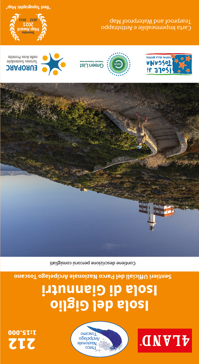
Isola Del Giglio - Isola Di Giannutri
The Isola del Giglio, located in the Tuscan Archipelago in front of Monte Argentario, is truly a pearl to be discovered. Second largest island in the archipelago and is renowned for its natural beauty.
... [mehr]
angezeigte Produkte: 1 bis 30 (von 66 insgesamt)

