Hiking Maps
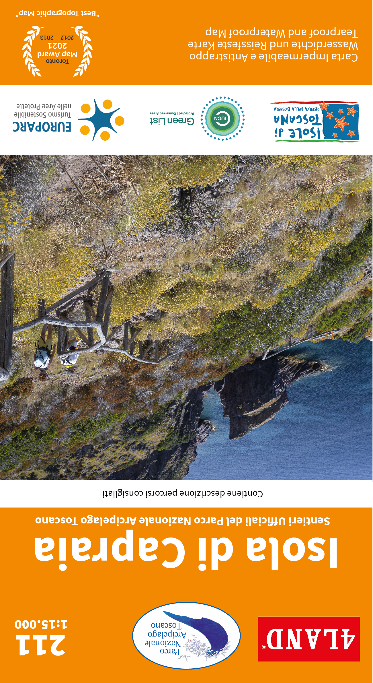
Isola Di Capraia
The only island of volcanic origin in the Tuscan Archipelago, forged by the extraordinary geological episodes that have affected it over the course of a few million years. This map was created in collaboration with the Tuscan Archip... [mehr]
Isola di Caprera – Parco Nazionale Arcipelago di La Maddalena
Deutsch: 4LAND Karte N. 161. Offizielle Karte des Nationalparks "Arcipelago di La Maddalena" bei Sardinien. Alle Wege, Strassen und interessante Plätze wurden vor Ort mit GPS vermessen. G... [mehr]
Nardini, Remo
Isola d´Elba
Deutsch: 4LAND Karte N. 202 Offizielle Karte des Nationalparks Archipelago (Toscana). Die Karte enthält eine separate Karte mit hervorgehobenen Mountainbikestrecken. Gedruckt auf Polyart, einem reiß-... [mehr]
Lago d'Iseo
Enchanted place, to be experienced 365 days a year. The new map of the trails and mountain bike routes of Lake Iseo (Sebino) includes all the mountain ranges of both the Brescia and Bergamo shores and a large portion of the Franciacor... [mehr]
Nardini, R., Casolari, E.
Lagorai Cima d'Asta
Deutsch: 4LAND Karte N. 113. Detailierteste und aktualisierte Karten des Lagorai, Cima d'Asta und dem Fersental. Besonders hervorgehoben sind die Langstrecken für Mountainbiker (Dolomiti Lagorai M... [mehr]
Mont Emilius
La mappa include tutti i valloni dell'Envers che si affacciano sulla Valle Centrale, da Pila a Issogne. Tra queste montagne domInano i grandi spazi delle Alpi Occidentali e i panorami sconfinati, mentre l'acqua l'elemento ... [mehr]
Nardini, R., Casolari, E.
Monte Baldo - Auflage 2015
Deutsch: 4LAND Karte N. 117. Auszeichnung als Beste Topographische Karte 2013 bei den "Avenza Map Awards". Detailierteste und aktualisierte Karte vom Monte Baldo in der Gardaregion mit hervorgehobenen Mounta... [mehr]
Nardini, R., Casolari, E.
Monte Baldo - Auflage 2017
Deutsch: 4LAND Karte N. 117. Auszeichnung als Beste Topographische Karte 2013 bei den "Avenza Map Awards". Detailierteste und aktualisierte Karte vom Monte Baldo in der Gardaregion mit hervorgehobenen Mounta... [mehr]
Monte Baldo - Edizione 2021
Il Monte Baldo è costituito da una dorsale parallela al Lago di Garda che si allunga per 40 km, tra il lago a ovest e la Vallagarina a est. A sud la dorsale è delimitata dalla piana di Caprino e a nord dalla Valle di Lop... [mehr]
Monte Rosa
Includes all the long distance tours such as: Alta Via n.1, Via Francigena, Tour del Cervino e del Monte Rosa, Sentiero Italia, Via Baltea and many more.
From the glaciers of the 4000 to the vall... [mehr]
Monti Amerini
English: In the southern part of Umbria, on the border with Lazio, is the splendid village of Amelia surrounded by the gentle slopes of the Amerini Mountains. The area is full of trails and paths for all kinds of... [mehr]
Monti Lessini
These maps were created in collaboration with the Regional Natural Park and with the CAI. They represent the most up-to-date and accurate cartographic products on the market. All the official trails of the Park, of the CAI, all the po... [mehr]
Monti Reatini
English: It is a map full of paths and trails entirely detected with GPS of the Rieti mountains, among which the famous Monte Terminillo stands out. The card is embellished with a selection of ski mountaineering route... [mehr]
Nardini, R., Casolari, E.
Ortles Cevedale Val di Sole - Edizione 2015
Deutsch: 4LAND Karte N. 156. Detailierteste und aktualisierte Karte des "Val di Sole" und der Ortler-Alpen. Alle Wege, Straßen und interessante Plätze wurden vor Ort mit GPS vermessen.... [mehr]
Nardini, Remo
Parco Alto Garda Bresciano
Deutsch: 4Land Karte N. 111. Neue Karte der Wanderwege und Mountainbikestrecken (mehr als 1000 km) auf der lombardischen Seite des Gardasees. Das Gebiet des „Alto Garda“-Parks ist vollständig von de... [mehr]
Nardini, R., Casolari, E.
Parco delle Colline di Brescia
Deutsch: 4LAND Karte N. 250. Die offizielle Karte des "Parco delle Colline di Brescia" beinhaltet alle Wege und Langstrecken wie z.B. den Franciacorta-Weg, den Drei-Täler-Weg und den Brescia-Karst-... [mehr]
Nardini, R., Casolari, E.
Parco Naturale Paneveggio - Pale di San Martino
Deutsch: 4LAND Karte N. 154. Detailierteste und aktualisierte Karte der Ostseite des Lagorai und der Dolomiten. Alle Wege, Straßen und interessante Plätze wurden vor Ort mit GPS vermessen. Diese Karte ... [mehr]
Parco Naturale Regionale di Bracciano - Martignano
These maps were created in collaboration with the National Park and the CAI. They represent the most up-to-date and accurate cartographic products on the market. All the official paths of the Park, of the CAI, all the points of intere... [mehr]
Nardini, Remo
Parco Nazionale Arcipelago Toscano
Deutsch: 4LAND Karte N. 201 Offizielle Karte des Nationalparks Archipelago (Toscana). Das Set enthält zwei Karten, eine von Elba und eine von den restlichen kleinen Inseln des Nationalparks. Die Elbakarte ... [mehr]
Nardini, Remo
Pasubio Vallagarina
Deutsch: 4LAND Karte N. 171. Detailierteste und aktualisierte Karte von Rovereto und Umgebung, sowie den Pasubio- und Carega-Bergen, Schauplätze heftiger Kämpfe im ersten Weltkrieg. Alle Wege, Stra&sz... [mehr]
Rutor - Sassière
Poche aree della Valle d’Aosta possono vantare una varietà di ambienti come questo piccolo spicchio compreso tra Monte Bianco e Gran Paradiso, quasi schiacciato dai due giganti e per questo troppo spesso trascurato. Il Gh... [mehr]
Nardini, R., Casolari, E.
Seiser Alm Rosengarten Latemar - Alpe di Siusi Catinaccio Latemar
Deutsch: 4LAND Karte N. 181 Die vorliegende Karte ist die neueste und detailierteste Karte des Gebiets um Latemar, Seiser Alm und Rosengarten in den Dolomiten. Auch der Naturpark Schlern und das berühmte Heiligtu... [mehr]
Nardini, R., Casolari, E.
Südtiroler Weinstraße Trudner Horn - Strada del Vino Monte Corno
Deutsch: 4LAND Karte N. 184. Detailierteste und aktualisierte Karte von Bozen und der südlichen Umgebung, Überetsch mit dem beliebten Kalterer See und dem Etschtal bis Salurn. Enthalten sind der Natur... [mehr]
Nardini, Remo
Trento Alta Valsugana
Deutsch: 4LAND Karte N. 143. Detailierteste und aktualisierte Karte von Trient, seiner Umgebung und den berühmten Seen von Caldonazzo und Levico. Die Karte umfasst mehr als 500 km nach Schwierigkeitsgrad geg... [mehr]
Nardini, R., Casolari, E.
Val Badia - Gadertal
Deutsch: 4LAND Karte N. 183. Eine detailierte und aktualisierte Karte des Herzens der Dolomiten (Gadertal, Sellagruppe, Naturpark Fanes-Sennes-Prags, Naturpark Puez-Geisler und Tofane). Alle Wege, Str... [mehr]
Nardini, Remo
Val dei Laghi - Monte Bondone - Basso Sarca
Deutsch: 4LAND Karte N. 142. Detailierteste und aktuellste Karte der wunderschönen Region zwischen Gardasee und Brenta-Dolomiten (von Adalo bis Monte Cornetto). Mehrere hundert Kilometer Mountainbikestreck... [mehr]
Nardini, Remo
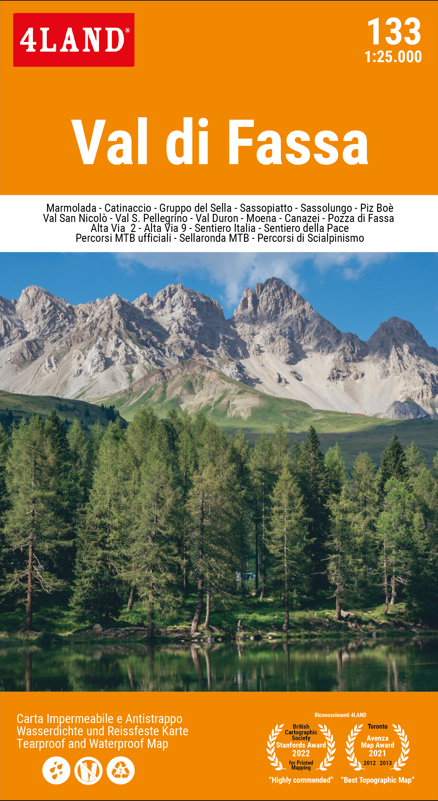
Val di Fassa
Deutsch: 4LAND Karte N. 133. Detailierteste und aktualisierte Karte des Fassatals und den wunderschönen umliegenden Bergen im Herzen des UN Welterbes Dolomiten. Die Karte beinhaltet die Sellagruppe, Langkofe... [mehr]
Nardini, Remo
Val di Fassa - Editione 2019
Deutsch: 4LAND Karte N. 133. Detailierteste und aktualisierte Karte des Fassatals und den wunderschönen umliegenden Bergen im Herzen des UN Welterbes Dolomiten. Die Karte beinhaltet die Sellagruppe, Langkofe... [mehr]
Val di Fassa - Edizione 2023
To keep this map up to date, 4LAND has been collaborating constantly for years with the main experts of the Val di Fassa mountains, with the Alpine Guides, with the MTB Guides, with the Alpine Rescue. The contribution of the APT Val d... [mehr]
angezeigte Produkte: 31 bis 60 (von 66 insgesamt)


